Dear Reader,
Having woken up unusually early one Saturday morning in February Jim and I decided to take the van to the beach at Seaford, where we hoped to enjoy both our breakfast and a walk before the rain set in for the day.
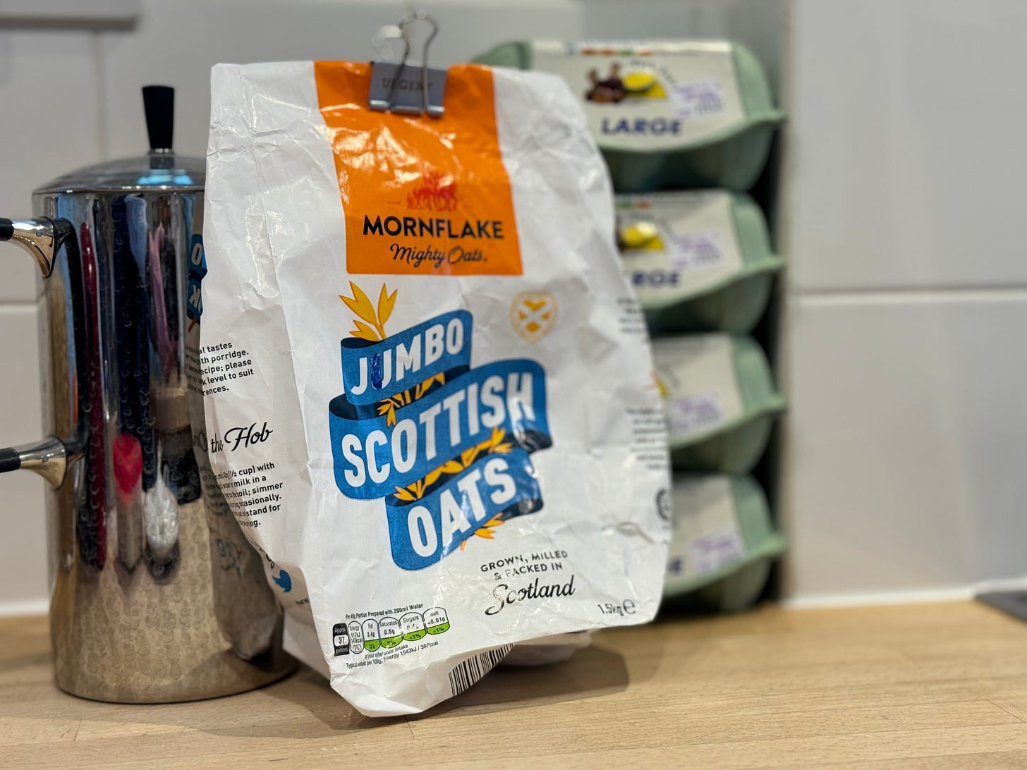
Jim generally has porridge for breakfast, and is such a fan of the stuff that he’s taken to rehashing the wording on the bag of oats with his name, graffiti-style, like a student preventing roommate robbery. Given that we are a household of two this is pointless, for I eschew morning starch in favour of soft-boiled eggs, which I eat from their shells with a teaspoon.
Now, boiling eggs on the gas ring of a campervan is time-consuming, expensive and very, very steamy; not a tempting prospect unless taking breakfast during a sauna is ever on my wishlist.
(It isn’t.)
With eggs therefore not making it onto the menu for our Saturday treat of a seaside breakfast, Jim had to share his supplies of Jimbo jumbo oats for us to cook up at the beach.
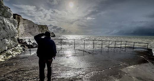
Appropriately fuelled, we left the van and set off on foot to Splash Point to take a look at the site of the latest cliff fall.
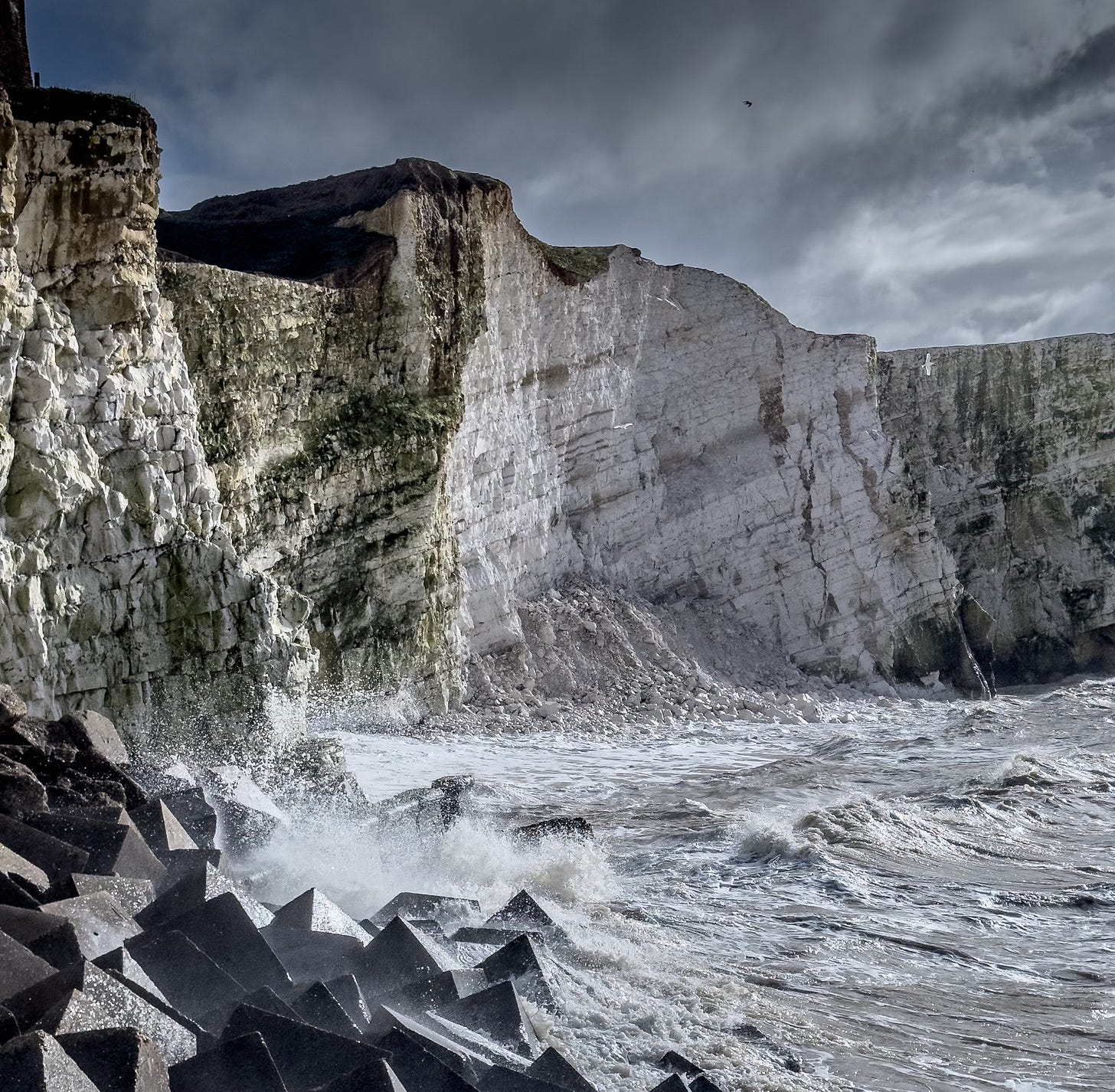
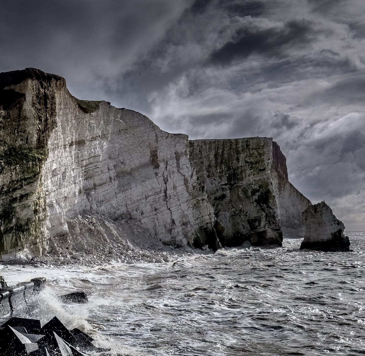
We could see the scarred section of the cliff from some distance away, its face far cleaner than the longer-exposed chalk that surrounded it, and glanced up to the top, where we’ve sometimes seen people standing to take selfies. Today there was nobody – that heap of fallen chalk at the bottom of the cliff was doing a good job of putting people off.
The chalk cliffs of southern England are iconic: wartime sweetheart Vera Lynn sang beautifully about the White Cliffs of Dover.1
The cliffs have great symbolic value in Britain because they face towards continental Europe across the narrowest part of the English Channel (approximately 20 miles (32 km) between coasts), where invasions have historically threatened and against which the cliffs form a symbolic guard. The National Trust calls the cliffs "an icon of Britain", with "the white chalk face a symbol of home and wartime defence." Because crossing at Dover was the primary route to the continent before the advent of air travel, the white line of cliffs also formed the first or last sight of Britain for travellers. During the Second World War, thousands of allied troops on the little ships in the Dunkirk evacuation saw the welcoming sight of the cliffs.
Cliff falls are not unusual on the British coastline. At Birling Gap, not far from Seaford, only four of a row of eight clifftop cottages remain.
In 1878, eight cottages were built for the Coastguard at Birling Gap and, in 1951, they passed into private ownership. Just over twenty years later, in 1973, one of the cottages was demolished as it was close to the cliff edge, which was falling away. In 1982, the National Trust purchased the cottages and, again just over twenty years after the first cottage was demolished, in 1994, the second one was demolished. Unfortunately, the erosion of the cliff edge seemingly speeded up and the third cottage was demolished in 2002, with a fourth, and latest, being pulled down in 2014. What was eight is now four so, as the cliff edge is still creeping towards the cottages, go and see this bit of Georgian history while you can.
Erosion, though, can create beauty as well as destruction. In the picture below you can see a striking chalk ‘stack’ – a small chunk of remaining cliff standing marooned in the water. This one, where cormorants like to perch to stretch out their wings to dry, has stood for decades, maybe even longer; the chalk that had once filled the gap between the stack and the cliff long since crumbled to powder and no longer part of living memory.
Erosion of cliffs thanks to environmental factors, then, can be life-threatening, home-destroying and attractive, but chalk’s very soft, sedimentary structure also makes it a prime target for the destructive attentions of some members of humankind intent on making their mark.
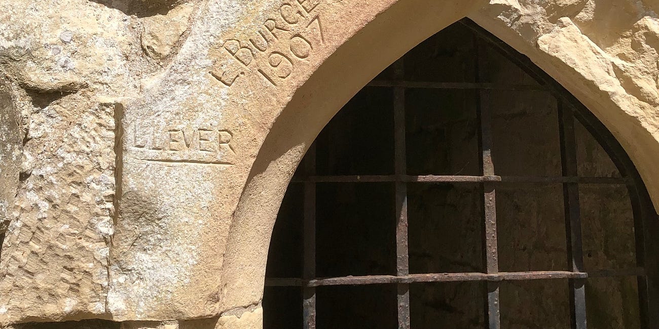
I’ve written before about the graffiti I’d found scratched into the granite walls of a historic castle, and Reader, I remain no fan of this practice.
87. (Anti)social history
Dear Reader, History reveals itself everywhere: it’s as old as the world, with an immeasurable future to come. Over time we find that even everyday things have earned the right to a closer look. My recent visit to a fourteenth-century castle has had me wondering whether instances of vandalism might represent our social history of the future.
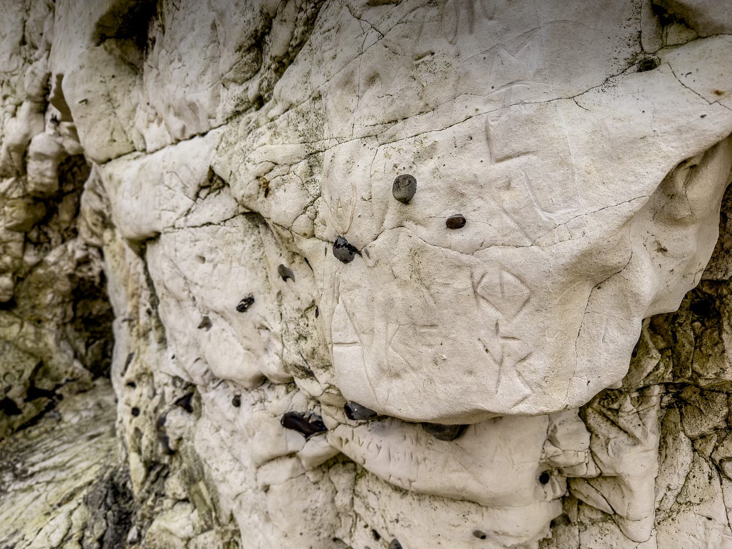
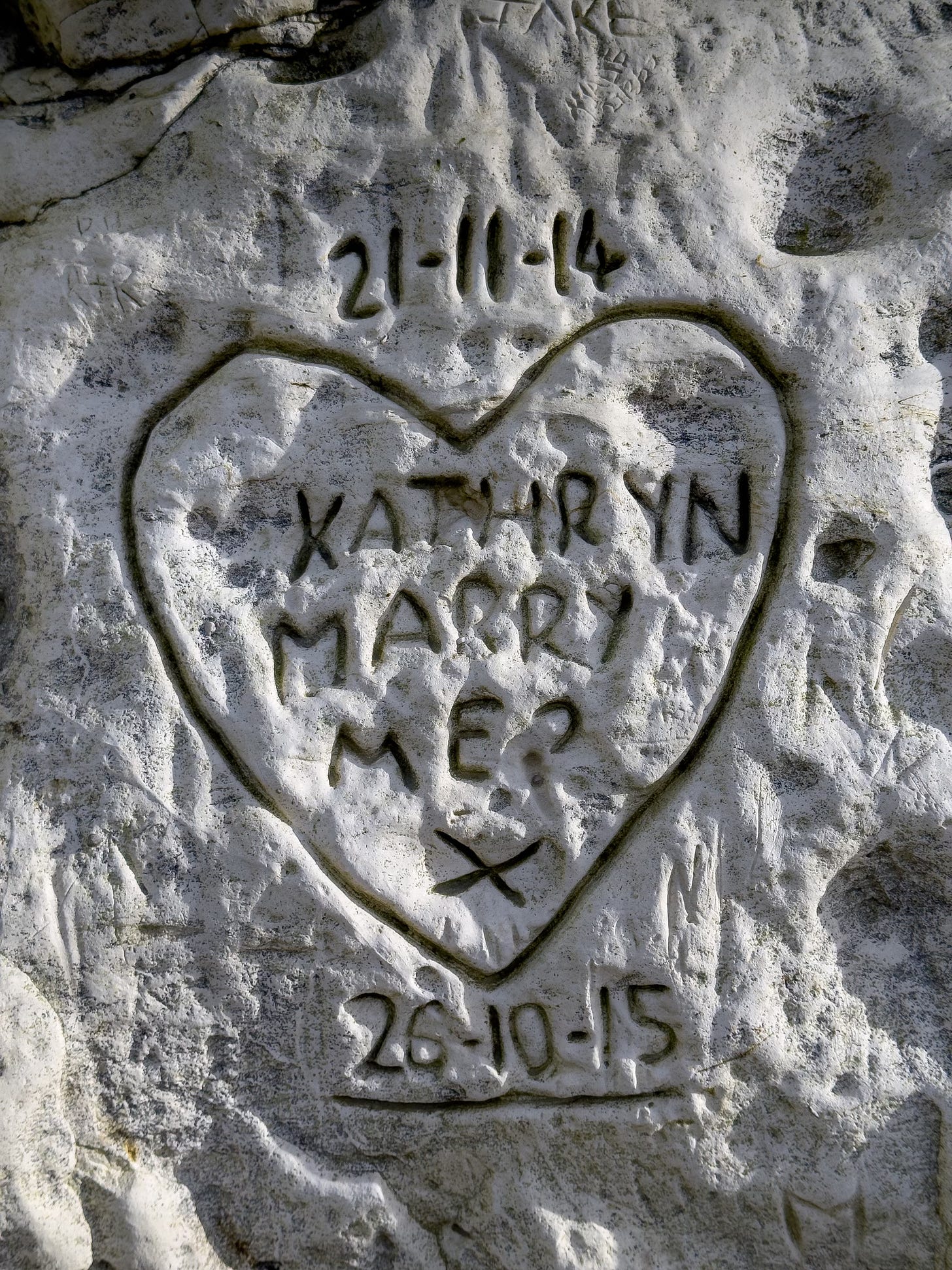
I wonder if the date shown beneath the bold cliff-face carving of this marriage proposal marked Kathryn’s wedding to her unnamed proposer? In 2015 October 26 was a Monday, so maybe not. Mind you, the last week in October is typically a half-term holiday in the British school calendar, so perhaps the happy couple were teachers making the most of their week off?
(I hope they weren’t, because what kind of example would this irresponsible rock branding set to their students?)
This graphic form of manmade erosion is – like the cliffs themselves – at the mercy of the chalk-chomping ravages of the elements. Many letters are showing signs of wear.
What do people use to leave their antisocial mark on these welcoming walls of British geological architecture? Well, the tools are readily available, being supplied in volume both on the beach and even within the sedimentary layers of the cliffs themselves.2
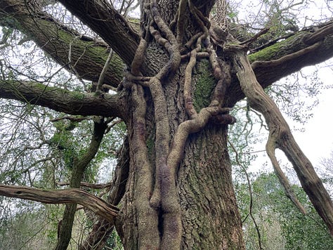
Graffiti in the natural landscape is not limited to letters and symbols scratched only into rock. On an early recce for Jim’s next book project on the subject of woodland we found ourselves in a forest of ancient trees. The yews at Kingly Vale are spectacular; shaped like shipwrecks and with thick stems of ivy wrapped like chains around their twisted, tangled branches.

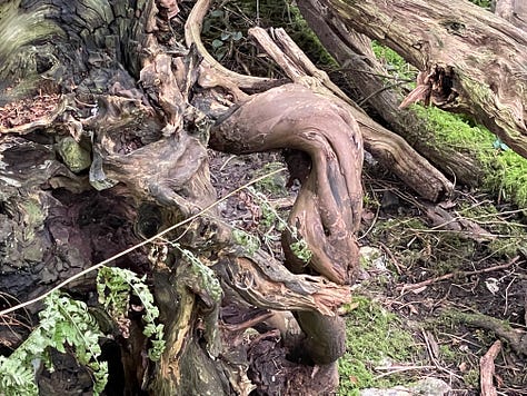
I was so sad to find this carving gouged deep into the bark of one of these living fossils:


Graffiti on inanimate objects is bad enough, but carving your name into a living tree? Shame on you, Isla.
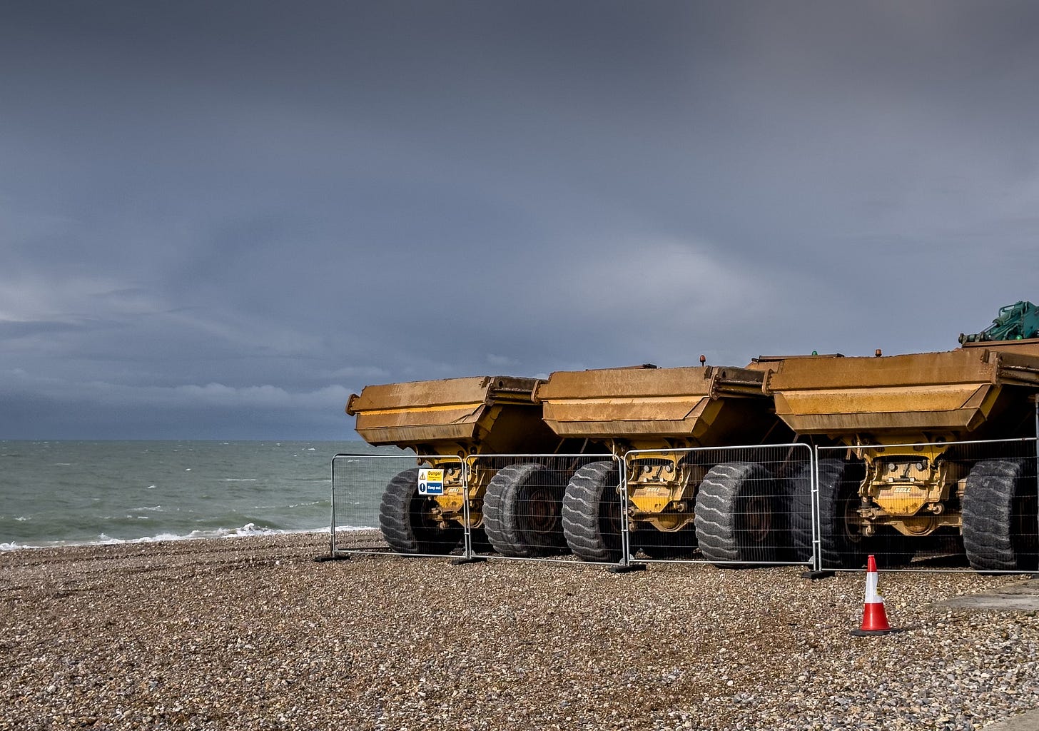
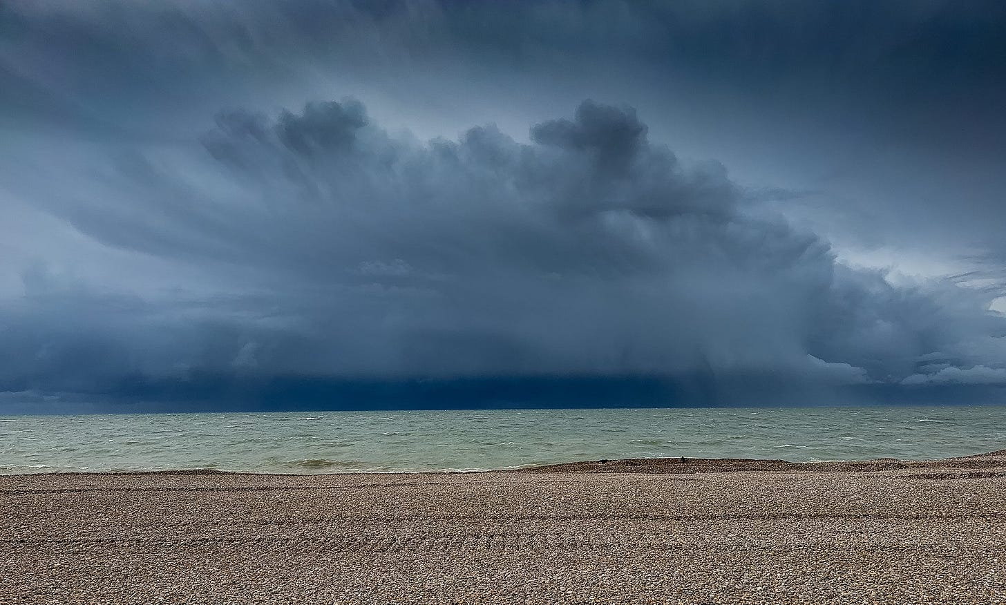
It is not only the chalk at Seaford which suffers the destructive power of the elements: the beach likes to disappear every time a bit of British weather gets thrown at it, and at certain points of the tidal cycle whole areas of it are washed away. Without sufficient shingle on the beach the town is at high risk of flooding, which is why these guys have been called in:
The twice-yearly maintenance work on Seaford beach maintains protection for the town from coastal flooding.
The beach provides a soft-engineered flood defence that reduces the impact of high tides and storms on the seafront. This essential work has been identified as the most cost-effective method for maintaining the 4 kilometre shingle beach.
Over time, natural coastal processes along the beach move shingle away from the central section of the beach to the north-west at West Beach, and south-east at Splash Point, depending on prevailing wind and wave direction.
To maintain the required standard of protection along the full length of the frontage, the Environment Agency typically moves up to 60,000 cubic metres of shingle in each recycling phase, back to the centre of the beach. The shingle is loaded from an excavator into lorries, which then transport the material to where it is needed. Bulldozers then position the material into the beach profile.
Well, the council looks to be on top of its responsibility to residents to mitigate the risk of flooding, but it would be nice if visitors to Splash Point – and indeed medieval castles, historic yew woodland or any other location for that matter – would exercise their own social responsibility not to act on their inexplicable urge to make their mark on what is a natural national monument.
As for the damage caused by weather and other environmental factors, well, we’ll just have to do our best.
Love,
Rebecca
📚 Reading 📚
📚 This terrific post by island-dweller
of tells another tale of coastal erosion. “And there was our proof indeed that the cliff is slowly, inexorably, crumbling down to the sand.”📚 Reading this poem by
of was a highlight of my week. I hope you’ll get as much out of it as I have!📚
of took me on a rollercoaster ferry ride to Orkney in her recent post subtitled ‘I grabbed onto the sturdy arm of a total stranger, and stuck to him like a barnacle on the belly of a whale.’ Reader, you’ll love it:📚 Regular readers of ‘Dear Reader, I’m Lost' will be no strangers to my ongoing light-hearted letter-writing project with fellow Brit
of . It’s my turn to reply to him on Wednesday, and you can find the archive of our chortlesome correspondence here.If you’ve enjoyed this post, please let me know by clicking the heart. Thank you!
Thank you for reading! If you enjoy ‘Dear Reader, I’m lost’, please share and subscribe for free.
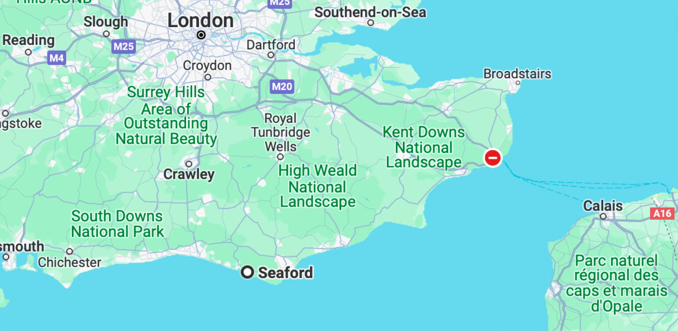
Dover is located approximately sixty miles east of Seaford.
Here’s a nicer thing to do with stones - paint a picture of them!





Jumbo oats. Hehe. You can write Reb-egg-a on the egg carton.
Beautiful photos.
Jim’s photos just pop - the way he was able to catch the dramatic light make the photos feel otherworldly. And I do feel that it’s spring when we truly feel and see the evidence of our environmental impacts. Sigh.
(And yes, shame on you, Isla. Dishonour on you, dishonour on your family, dishonour on your cow.)